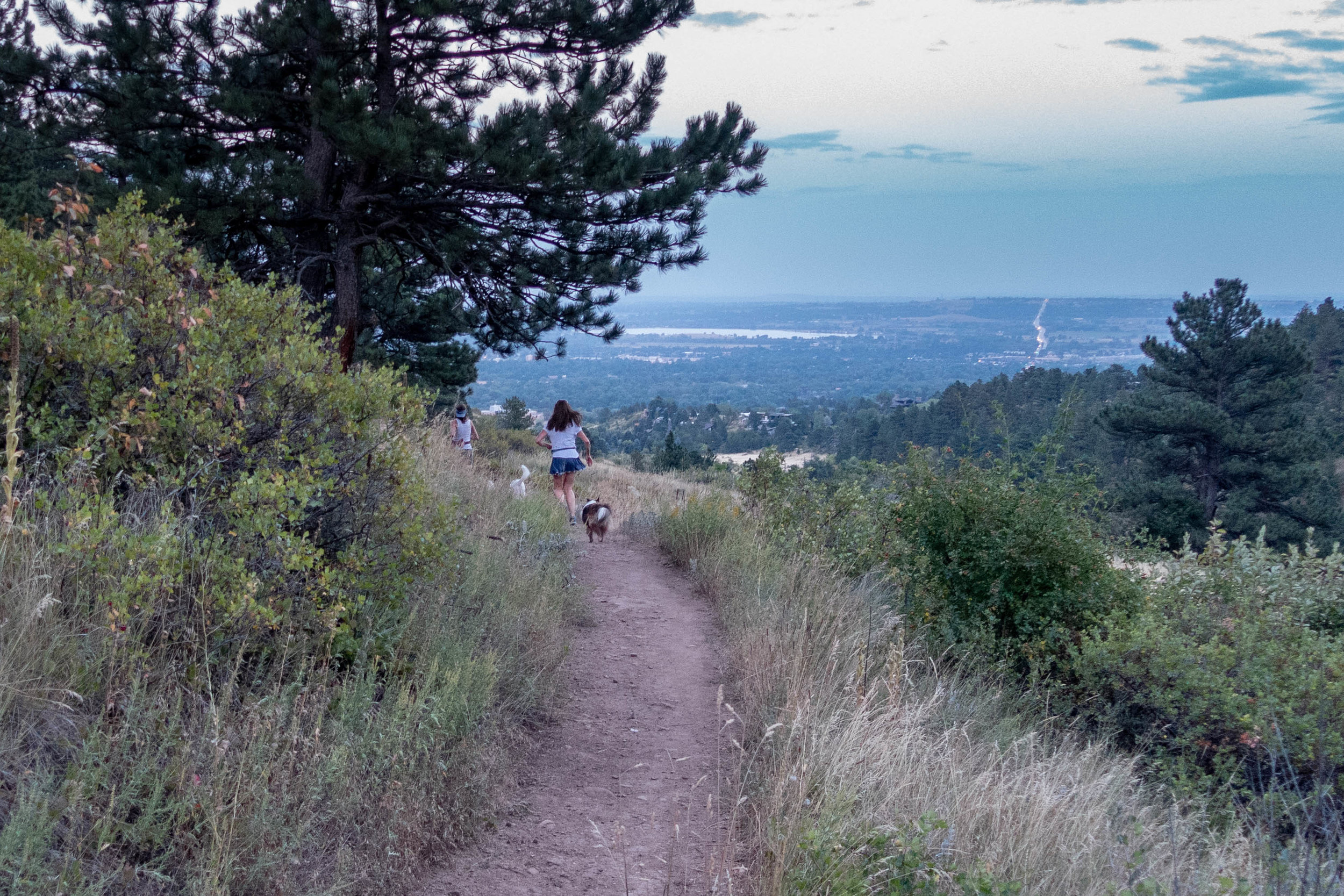
Skunk Canyon
Distance: 3.4 mi (5.47 km)
Elevation: +615 ft (187.45 m)
The Hiking Project: Skunk Canyon
Boulder Hike of the Month, April 2017
Wednesday, August 22, 2018 – Skunk Canyon Trail
Per recommendation from S2, I decided to try Skunk Canyon Trail today. D is still on travel, so it was a solo expedition.
The trail has several access points. It's simplest to park in the neighborhood, near Vassar and Table Mesa, or at the intersection of Deer Valley and Kohler. Then walk down a service trail to the Skunk Canyon Trail.
“Then the sun set, as it does, and I had to forego my sunglasses. The remaining hike was a bit of a blur...”
The trail ascends gradually, with switchbacks up a grassy hillside. After about a mile and a half, it enters a forest. From there the trail is steeper, with a couple more switchbacks, until it finally intersects the Mesa Trail.
From this point, one could hike the "Skunk-Kohler Loop" by following the Mesa Trail north to the Kohler Trail, the Kohler Spur, and finally back to Skunk Canyon. I decided to return the way I came.
As I descended, guess who emerged from the forest: LD & ED, out for a run, as cheerful and upbeat as ever.
Then the sun set, as it does, and I had to forego my sunglasses. The remaining hike was a bit of a blur, and I took a wrong turn somewhere. Meandering along a tiny trail through tall grass in the dark, I imagined a ship at sea in the fog, with sea monsters calling out in coyote voices. Fortunately, I had GPS and some handy phone apps.
When in doubt, go higher. Or lower. Or check GPS.


